In 2007 I learned about the Sunshine Coast Trail. At the time I wanted to do a solo trip with my two dogs Ashley and Merlin. Saddly I had to admit that the time for Ashley to do such and epic hike was over. So I changed plans and did adventures that were more suited to her aging years. She had given me so many good years. It was time for me to slow down and move at her pace. We enjoyed many dog walks. Slow sniffing adventures where she got to go and walk at her own pace. She died in 2008 but we had many good times up until that time.
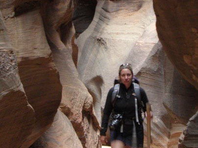
So fast forward. Its 2014. Merlin has since passed on as well. My life has changed a 180 degrees. I"m married. I've had more great adventures in Peru, Africa, Bolivia, and Mongolia. We have a new adventure dog named Taz who is 3.5 years old and raring to go. My husband is embarking on a new business venture and will be in Nelson B.C. for awhile. I have 2 weeks of vacation in August. So, as the backyard adventure girl I'm heading off on a solo trip down the Sunshine Coast of British Columbia. I'm taking my adventure dog Taz with me. I might be able to tire him out. We'll see.
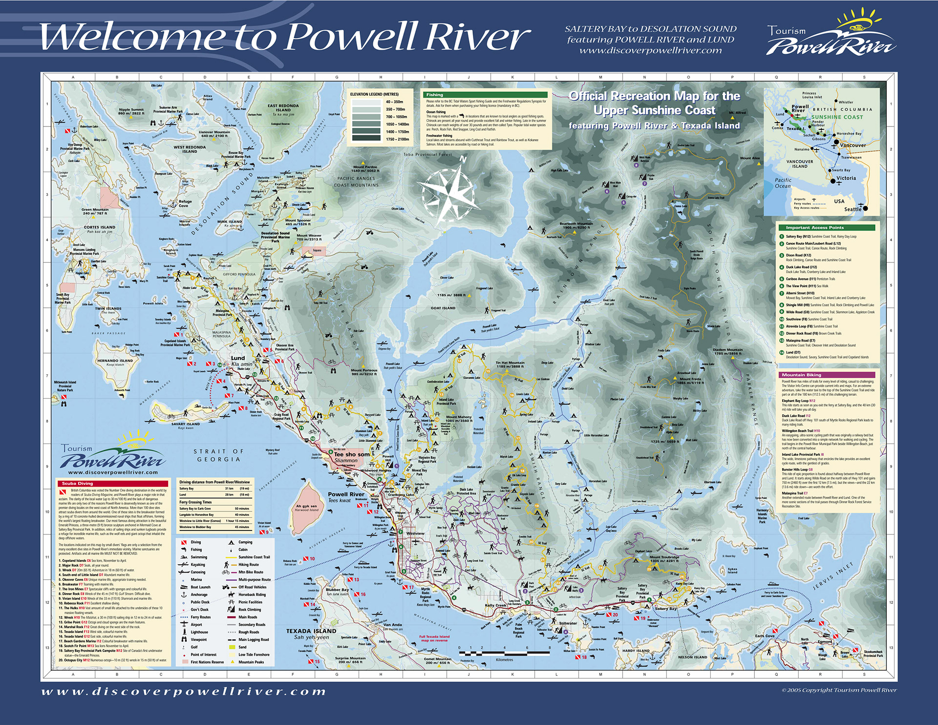
The Sunshine Coast Trail is 180 km (about 111 miles long) long from Sarah Point to Saltery Bay. Here are some links to more information about the trail.
The best detailed info I've found so far is this website: http://www.car-free.ca/bc-car-free/backpacking/sunshine-coast-trail-stage-1-sarah-point-to-malaspina-road.html
Here is the official Sunshine Coast Trail website. A little lacking in details and you can only get the book and map by snail mail: http://www.sunshinecoast-trail.com/index.html
Big Pacific's Guide to the Sunshine Coast Trail: http://www.bigpacific.com/play/hiking.html
More about Saltery Bay: http://www.sunshinecoasteh.com/saltery-bay.html
More about Powell River: http://www.powellriverbc.com/
More about Lund: http://www.lundbc.ca/
No Before you go.
When I was researching this hike I had a hard time finding good information. The Sunshine Coast Trail website, while nice, doesn’t really provide you with useful information. You can order the book but its old school. Send the money and they’ll send you the book. Great if you are planning weeks or months in advance. Not so great if you get some free time and want to embark on an adventure. Also they bill this as a family friendly hike which I would say is probably not the case. Having grown up backpacking in the northwest I can see a melt down with kids on this trail. Sections that can be accessed for day hikes would be great adventures but get the local knowledge.
I found the new improved Powell River area map. Much better information but still light on useful info. It did have kilometers and some topographic info. I was able to purchase it from Terracentric Coastal Adventures located in Lund above Nancy’s Bakery. They also have sea kayak and Zodiac tours out to Desolation Sound.
Other than that there is the tourist brochure with a general outline of the trail with the huts. All the other hikers I ran into had the same problem. Lack of real information on the trail, kilometers, elevation profiles, or just descriptions of the sections.
I found some of the original mileages I tracked down were inaccurate. Also some of the signs along the trail had incorrect mileages. You’d pass a sign saying such and such is 8km and then a few kms down the trail you’d see another sign that said the same mileage. I was able to calculate pretty accurately using the map that I purchased from Terracentric. Another one was whether the nearest water source for each hut was located. Just fill up. Manzanita hut doesn’t have a water source that is close enough to refill from camp.
In the end I enjoyed the four day hike. It was definitely challenging physically as B.C. trails seem to always be built straight up and down the mountains. Very few switchbacks. I wasn’t overwhelmed by the beauty of the hike. Most of the trail was in the forest with a few great views from ridge tops. I grew up in the northwest and have hiked all over the Olympics, the Cascades, and the Canadian Rockies. On my scale it was o.k. If you aren’t from the northwest and just want a coastal destination with the ability to launch off for other adventures this is a good choice. So if you want more info on the First section from Sarah Point to Powell River I’d be happy to answer any questions.
Also in talking with some locals there may be more logging on the lower section from Powell River to Saltery Bay. So there is the potential need to do more route finding where the logging has encroached on the trail. One of the reasons I decided not to continue. I only had 7 days to do that section of trail and given the terrain, kilometers, and potential for route finding I wasn’t sure I could make it in 7 days. I had to be back to work right after so no room for error.
It is work in progress. Some better marketing (hardly anyone knows about it), online detailed information, and attention to details, and this could be a multi-day or day hike destination.
Useful information
For useful links visit: http://lundhotel.com/site/about_lund/useful_links.html
This man’s website gave me some useful info. http://www.potential178.com/sct/
This man’s website gave me some useful info. http://www.potential178.com/sct/
Also Car Free B.C. had longer descriptions.
You can contact Footprint Sea Kayak for resupplies and guided hikes. They also do sea kayaking trips. They were very helpful.
I used Powell River Taxi for my shuttles. Quite expensive but convenient.
Lund Water Taxi is the service for going to Sarah Point and Savary Island.